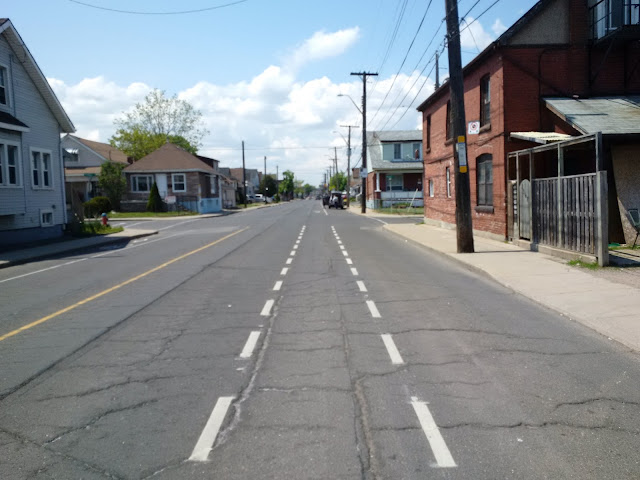
On Sunday, May 22, I biked 80 kilometres from “The 6ix” to the Hammer for some Ride For Heart training. Here are some cycling observations I made along the way.
 |
| Hamilton skyline from York Boulevard |
Starting in Liberty Village, I used the heavily used Waterfront (a.k.a. Martin Goodman) Trail to its terminus at Norris Crescent. From Norris, cyclists need to use the busy Lake Shore Boulevard until First Street, which should be getting a bi-directional cycle track this summer to improve safety. (link to motion) While I kept going on Lake Shore which has bike lanes from Twenty Second Street to Browns Line (just before Mississauga), the Waterfront Trail from First uses residential streets and some trails through to Mississauga.
Mississauga also does a good job keeping the Waterfront Trail on residential streets, trails, or on in-boulevard paths when it goes along Lakeshore Road. I simply used Lakeshore Road and Southdown Road, which again becomes Lakeshore. While these roads do not have bike lanes, they feel safer than Toronto’s arterials. Oakville, on the other hand, is not very bike friendly with no trail portions, erratic bike lanes (which don’t exist east of downtown), and poor Waterfront Trail wayfinding. In a nutshell, brace yourselves and stick to Lakeshore!
 |
| Sharrows in Burlington |
 |
| Pavers used on trail in Downtown Burlington |
 |
| Burlington Skyway from the lift bridge |
 |
| Start of Cannon Street bikeway |
 |
| Tim Hortons Field - Home of the Hamilton Tiger-Cats |
 |
| Cannon cycle tracks - Note the "no left on red" signs & indirect turn bike box |
 |
| Mini curb segments used on Cannon cycle tracks |
 |
| Not a great shot, but Dundrum Castle is behind that tree |
Raise the hammer!
Rob Z (e-mail)
Follow @RZaichkowski
*CORRECTION (2016/05/23): Cyclists are not allowed on the Burlington Skyway. Instead, they use the Burlington Canal Lift Bridge. Thanks Roman P for pointing that out.

No comments:
Post a Comment